
- Day 9: Ceibwr Bay to St Dogmaels
- Distance: 13.2km
- Ascent / descent: 474m / 529m
- Weather: overcast
With our final 4:30am wake up call, we hit the trail bleary eyed but hopeful there’d be a pot of coffee and hearty breakfast waiting for us at the finish line.
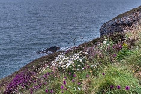
Wildflowers on the Pembrokeshire Coast Path
I think I forgot to mention but on the morning of day 2 we saw a couple of porpoises close to the shoreline. This morning there was another one… or maybe it was one of the same we saw on day 2… saying goodbye?
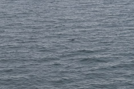
There’s a porpoise in this pic if you can find it!
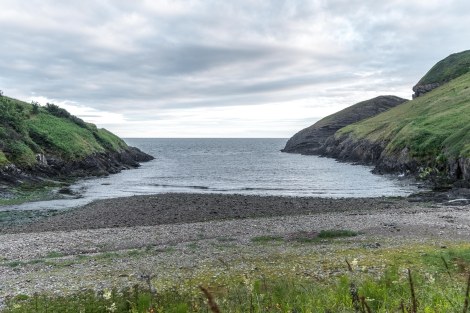
Ceibwr Bay
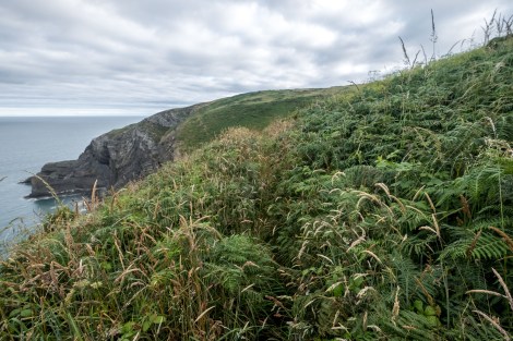
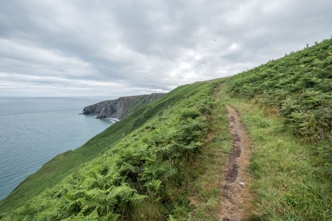
The trail continued in its usual roller coaster fashion close to the cliff (you really need to watch your footing), with a fair few overgrown sections too. We only had 9 miles (13km), but there was nothing easy about this last section.

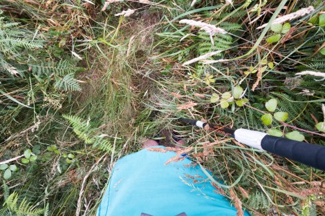
This bit’s a little overgrown!
This bit’s a little overgrown!
That’s better!
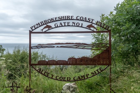
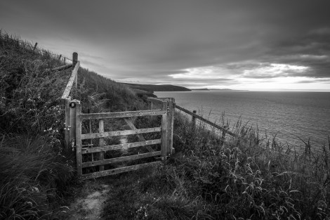
Pembrokeshire Coast Path Gate No.1
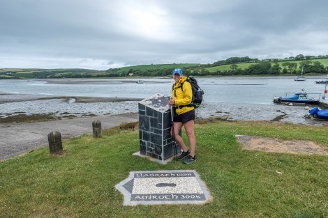
St Dogmaels, the end of the Pembrokeshire Coast Path
KC at the end marker of the Pembrokeshire Coast Path in St Dogmaels!

From Amroth to St Dogmaels, the Pembrokeshire Coast Path is a stunning trail!
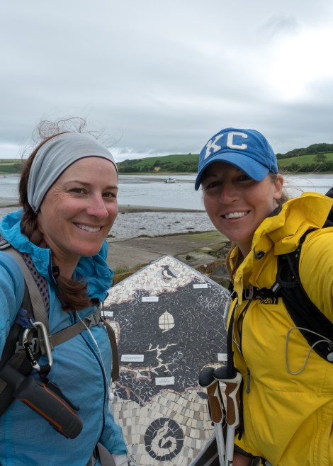
We made it, frizzy hair, tired eyes (we maybe got 3-4 hours sleep last night!) and aching bodies… but we made it!
Relieved and quite hungry but with no cafes in sight (and no bus arriving anytime soon), we ordered a taxi to take us to the bustling town of Cardigan, a short drive away. The driver dropped us at Cardigan Castle, with a cafe conveniently located opposite. We had just enough time for a filling celebratory breakfast before boarding the bus from Cardigan to Carmarthen, then the 2:05pm train back to London.
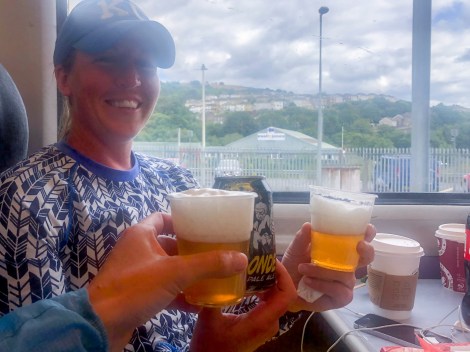
Cheers!
This trail was so much more than either of us could have imagined. We saw porpoises, three badgers, a snake, a fox, incredible sunsets and a stunning coastline. It was well waymarked with ample facilities; the perfect hike to fit into a two week holiday and I really can’t recommend it enough. We leave sunburnt with amazing memories and a few too many blisters to remind us of our punishing schedule! 😉
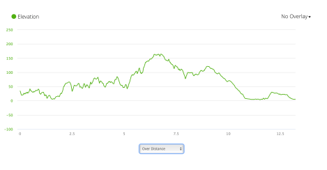
PCP9 elevation profile from Garmin Connect
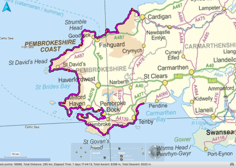
Our route from Amroth to St Dogmaels, courtesy of Basecamp
