
- Day 8 – Nobeoka to Michi-no-eki Yayoi
- Distance: 61.2km
- Ascent / descent: 475m / 442m
- Weather: rainy until about 2pm
- Accommodation: camped near Michi-no-eki Yayoi
I checked out at 10am (trying to delay riding in the rain for as long as possible) then after reading a blog last night by Sue and John (an Australian couple who are here cycling for a couple of months and are currently in Kyushu too) and reading that they were using the bike app Komoot and were really happy with it, I decided to download Komoot myself and give it a go. I paid the £29 lifetime worldwide membership and downloaded the regions I would be travelling through in the next week. So I was now following Komoot and was already very impressed with its offline maps and elevation profile (I feel like I’d been riding blind until today not knowing when the hills were ever going too end!) I was thinking to head towards Sakai or Usuki depending on how the day panned out.
The route out of Nobeoka through small shopping arcades was interesting, then back onto Route 10 and soon passing rice fields.
After an hour or so, just as there was a sign for a michi no eki in 1km, Kamoot had me turn off the highway onto a smaller road and this wound through small settlements and along a river. It was a beautiful route and I enjoyed the birdsong and wildflowers by the river (wisteria, fringed iris, purple iris etc). Once I joined route 10 again it was a completely different experience. There were no cars anywhere and as I climbed into the mountains I was completely alone and it was incredibly peaceful (other than the pounding rain!) This section of road is definitely one of my favourites so far. There were no services and barely any vending machines so I was happy to find one and stop for a hot coffee.
When I checked the elevation profile on Komoot, I was surprised to see that I was almost at the top of the main climb for the day, without realising. The downhill was long and very fun.

Morning river reflections on a rainy day
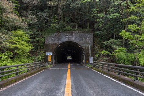
Tunnel time

Into the mountains on Route 10 which thankfully became deserted and I had the road to myself
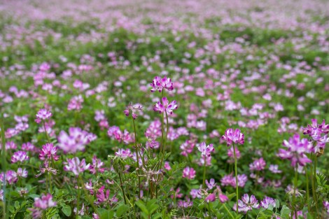
PPF – pretty pink flowers
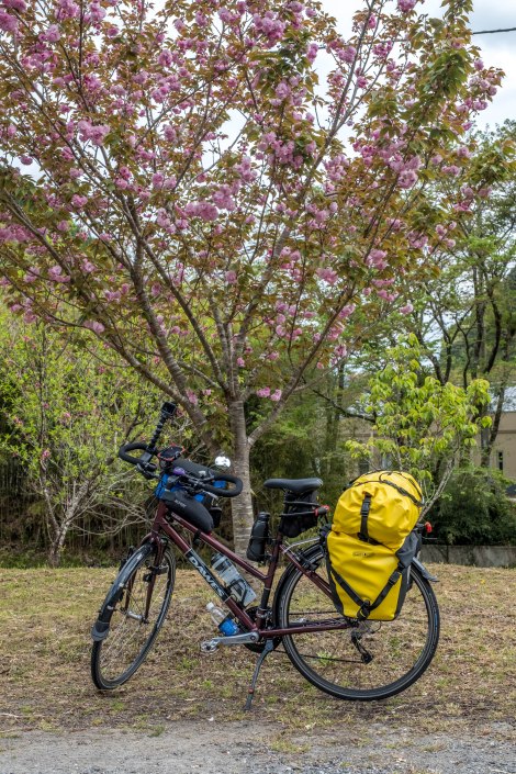
Momiji under the cherry blossom

Sakura cherry blossom
At the bottom of the hill I came to a small town called Naokawa with a shop and rest area so I popped in and bought some imo-dango to try for the first time. The lady brought me out some Amezake to drink ‘for energy’ which was very kind. I had been struggling with energy all day today and think it’s my body’s way of saying I need a rest.
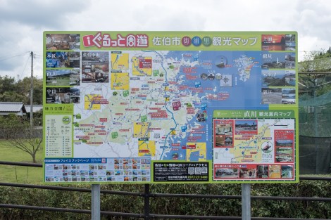
A typical Japanese tourism sign
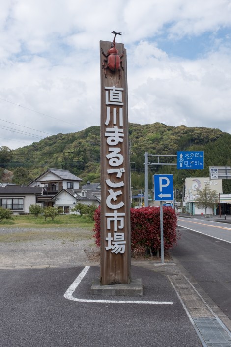
The ‘Naokawa Marugoto Ichiba’ market

The ‘Naokawa Marugoto Ichiba’ market

‘Imo dango’ – potato pound rice from the ‘Naokawa Marugoto Ichiba’ market. I had two and gave one away. They were nice but three would be too many in one sitting!
As I came to the junction to turn off to Sakai there was a sign pointing the other direction towards Usuki for michi-no-eki Yayoi only 1.5km away. Rather than go into Sakai, I decided to head to the michi-no-eki instead as it was a nice day now and I would see if there was somewhere nearby to camp. This was a great decision as there was an onsen next to the michi-no-eki! It was ¥500 and had an indoor and outdoor section as well as hot and cold pools, a dead sea pool and a sauna. I took my time and soaked my tired and aching body. There was a 7-11 next door where I had dinner (the michi-no-eki closed at 6pm) and then I set up my tent nearby and was asleep by 8:30pm!

JB8 – elevation profile from Garmin connect
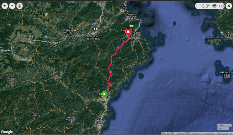
JB8 – google map from Garmin Connect
