
- Day 27 – Amaharashi to Takaoka
- Distance: 12.4km
- Ascent / descent: 73m / 58m
- Weather: sunny and hot
- Accommodation: Super Hotel Takaoka Ekiminami, ¥4,980
I set my alarm for 4:30am to get up for the sunrise and when I peeked out of the tent, the sky was glowing orange. I quickly got up and walked to the pier for a better view. The view of the Tateyama mountain range in the background was the best that I’d had so far and I loved seeing the snow-capped peaks.

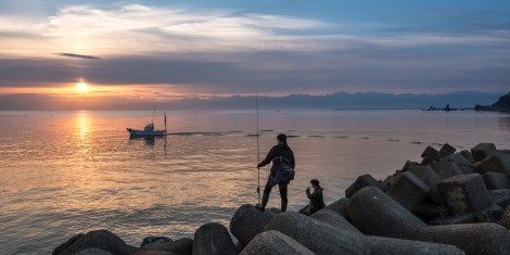
Fishing at sunrise in Amaharashi, Toyama
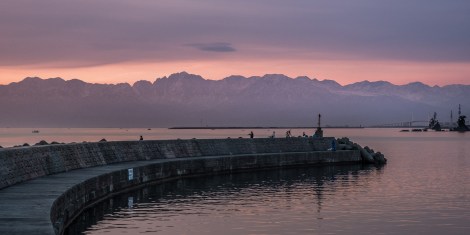
The Tateyama mountain range seen from Amaharashi at sunrise in Toyama Prefecture
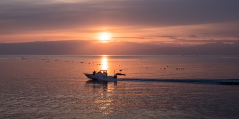
Sunrise as seen from Amaharashi in Toyama Prefecture
Sunrise as seen from Amaharashi in Toyama Prefecture
I booked a business hotel in Takaoka to have a day off, so knowing it was only a short ride away and I wouldn’t be able to check in until 3pm, I went back to the tent and had a lazy morning.
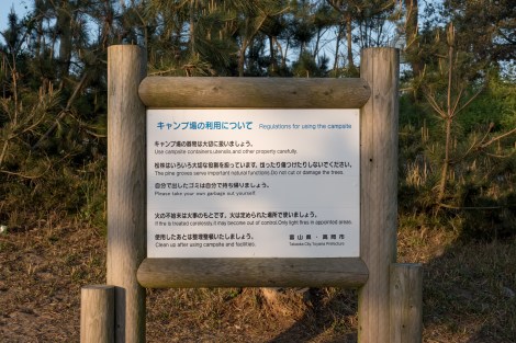
Campsite rules

Campsite rules
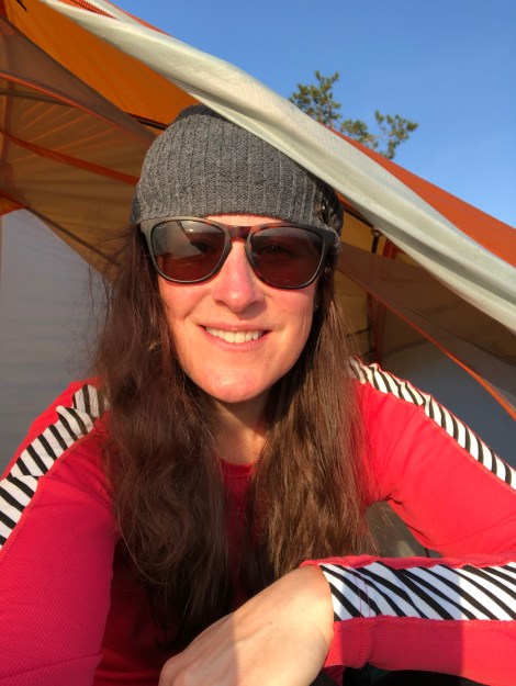
Sunrise tent selfie
I eventually left, and stopped shortly after at the the newly opened and very smart-looking Amaharashi Michi-no-eki. When it opened at 9am I was able to buy some breakfast and a coffee, then sit on the bench outside enjoying the stunning scenery of the Amaharashi coast quasi national park.
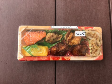
Breakfast at Amaharashi Michi-no-eki – the white whole fried shrimp on the RHS are a specialty of the region (everything else from L-R is salmon, egg, fried chicken and meatballs)
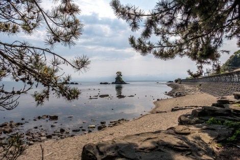
‘Meiwa’ rock island with the Tateyama mountain range in the background, Amaharashi Coast Quasi-national Park
Just an hour later and I was in Takaoka dropping off my bags at the hotel. All my batteries were dead so I sat in the foyer and recharged everything while chatting to the very friendly staff who let me enter the room as soon as it was cleaned, thanks! Today’s a day of admin. I need to try and find warmer sleeping clothes / a sleep sheet, take my bike to get checked at the nearby Cycle Base Asahi, resupply with food, clean my mouldy water bottle (I didn’t realise it was mouldy and I was drinking out of it today – I’ll save you from having to see the photo but my bottle was alive!) And then just chill out and figure out which direction I should cycle now – into the mountains or follow the coast?

Jb27 – elevation profile from Garmin connect
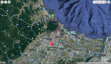
Jb27 – google map from Garmin Connect
