
- Day 31 – Takaoka to Itoigawa
- Distance: 102km
- Ascent / descent: 504m / 512m
- Weather: sunny and hot
- Accommodation: beach camp in Itoigawa
I finally moved out of the hotel and started cycling again 😉 The first stop was at a bookshop so I could buy a new ‘Touring Maple’ guide – I bought the Tohoku version. Soon after, I passed a post office and posted my other map back to the UK, along with some souvenirs that I’d picked up but resented carrying for their extra weight 😉
I joined the Toyama Coastal Cycling route and followed this for about 40km before reverting back to Komoot which wanted me to take a more direct route towards my destination. The cycle route was terrific and varied and I would’ve stuck with it if I didn’t have such a big day planned.

Toyama coastal cycling route signs
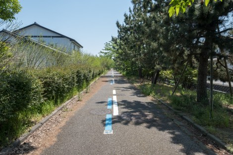
Toyama coastal cycling route
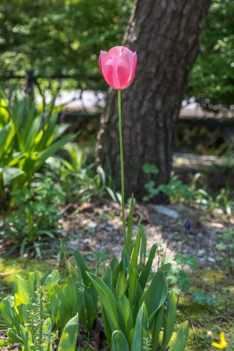
Tulips everywhere
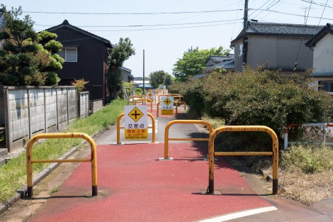
Just a few barriers 😉

Loved seeing this snow-covered mountain range all day long
I passed signs for a ‘mirage’ so I pulled in to see if I could see what everyone was looking at… but couldn’t see anything.
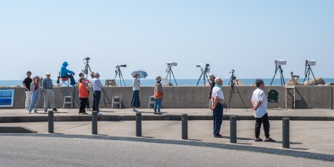
For the life of me, I couldn’t see what these photographers could…
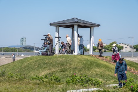

‘Mirage of Toyama Bay’ (Toyama-wan shinkirou), this is what the photographers were looking at.
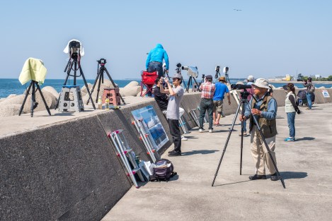
Can you see it??

Couldn’t stop staring at these mountains all day long

“Peek-a-boo,” said the house
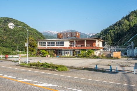
Abandoned buildings
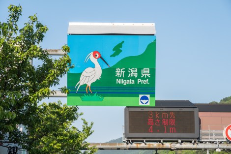
Welcome to Niigata Prefecture – the bird is a ‘toki’ – a crested Ibis
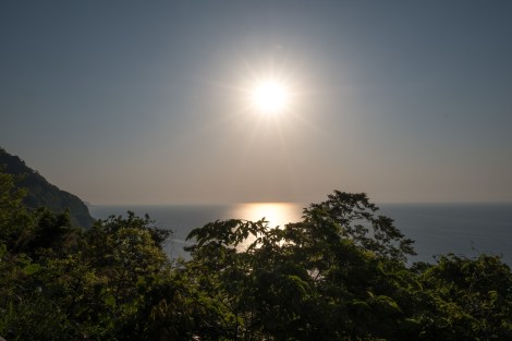
Japan sea views
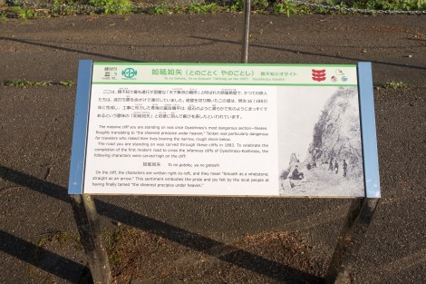
When I was in Kyoto a few weeks ago, a met a guy who worked at the Piece Hostel and he warned me about a section of road called Oyashirazu. The problem was I couldn’t recall exactly where it was, until I was on it today! ‘One of Japan’s most dangerous roads’ according to all the signs, and cycling along it with no shoulder and dozens of large trucks certainly made me feel like that was no exaggeration. It was beautiful and I wish I could’ve stopped to take a few more photos but my adrenalin was pumping, not knowing how long it would last for and whether I’d survive cycling along it as the sun was starting to set.
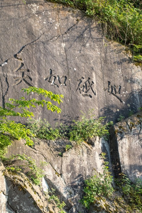
Oyashirazu dangerous road signs

Rev. Walter Weston – see next photo for details

Rev. Walter Weston


Oyashirazu cliff road – this was not fun with no shoulder and heaps of large trucks
And then, finally I was in Itoigawa and could watch the sunset while I tried to figure out where to camp!
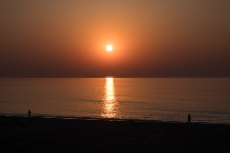
Sunset in Itoigawa
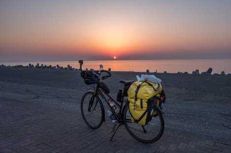
Sunset in Itoigawa
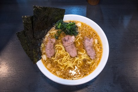
Ramen for dinner in Itoigawa
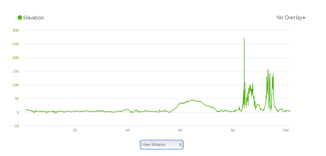
JB31 – elevation profile from Garmin connect

JB31 – elevation profile from Garmin connect

Ufff… no words to express this amazing feeling it has been ciclyng Japan with U… thank so much for sharing this experience… inolvidável !!! (in portuguese 🙂
LikeLiked by 1 person
Aww, thanks Paulo 😊
LikeLike
Wonderful! I just did this section today and I think I got a bit lucky as there was some construction right at the start so all the traffic would come in a rush once they got the go ahead.
Still a nerve racking section and happy to see you got some pictures I wasn’t able!
LikeLike
Thanks for sharing Matt. I know Katrina would have been delighted that you had a safe trip.
LikeLike