
- Day 50 – Mutsu to Hakodate
- Distance: 54.1km
- Ascent / descent: 497m / 498m
- Weather: windy
- Accommodation: Goryokaku Guest House, ¥1600
Today I was going to Hokkaido! I had checked the ferry schedule and it presented me with a conundrum. I was 50km from the port and there are two ferries daily, at 7am and 2:10pm. When I woke at 3am in my tent it was raining, so I decided to wait until the rain stopped. It didn’t stop until 4am, so I knew at this point I was going to miss the 7am ferry. Oh well, a rest would do me good and Takahashi-san who I’d met at the convenience store last night had told me the ferry terminal had places to eat, rest and charge electronics, so I was fine with this.
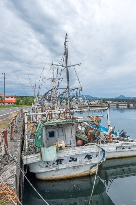
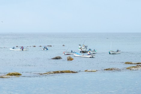
A fishing boat in port near Oma
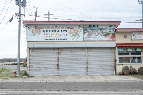
This sign for the local fire brigade caught my eye for the
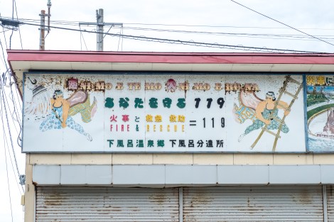
This sign for the local fire brigade caught my eye for the
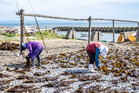
Fisherman possibly collecting sea urchins (uni)?

Fisherman possibly collecting sea urchins (uni)?
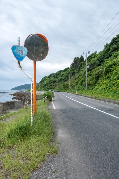
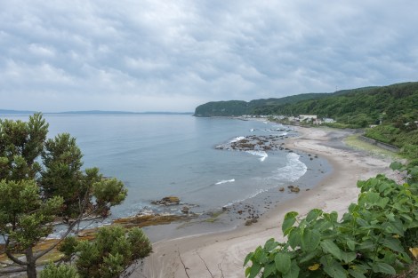
Looking back at the way I’ve come along Route 279 to Oma
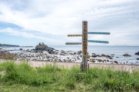
This sign says: Beijing is 2,040km away, Seoul 1,250km, New York 12,320km and Hawaii 6,020km
Locals drying kelp seaweed
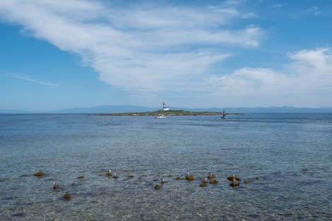
Standing at Cape Oma looking out to a lighthouse on Benten Island with Hokkaido in the background
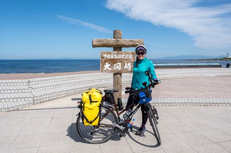
I’ve made it to Cape Oma, the northernmost point of Honshu. Now to continue to the northernmost point of Japan on the island of Hokkaido.
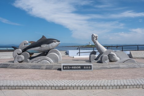
Cape Oma is famous for pole and line tuna fishing. The tuna fish at this monument is apparently modelled on a 440kg one that was caught here in 1994.
At the ferry terminal, I had an early lunch then got my electronics charging. I also booked a Jetstar flight from Sapporo back to Tokyo with my bike and then booked a hostel in Hakodate for tonight.
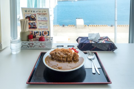
Having katsu curry and rice for lunch at the ferry terminal in Oma
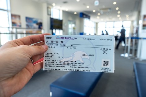
My Tsugaru Kaikyo ferry ticket from Oma to Hakodate
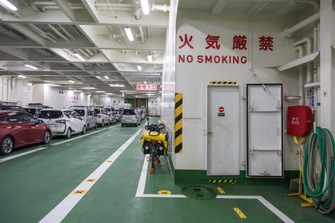
The bike’s all tied up to the ferry for the crossing
When I arrived in Hakodate, I rode to the guesthouse and checked in straight away. I didn’t have much time, but while I was here I wanted to buy the Hokkaido mappuru motorbike touring guide which I’ve been using since Kyushu, as well as stock up my food supplies. Considering the hostel was right next to the Goryokaku Tower (and I’ve already been up Mt Hakodate on a previous visit to Hakodate), I paid the ¥900 entrance fee and enjoyed the sunset from the top.
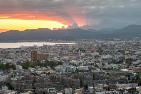
Sunset in Hakodate from the Goryokaku Tower

Goryokaku – a star-shaped fort in Hakodate built by the Tokugawa Shogunate
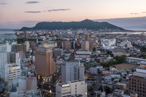
A view of Mt Hakodate from Goryokaku Tower
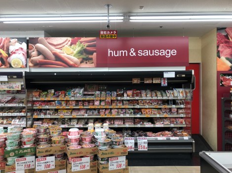
Who doesn’t like some hum?
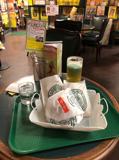
Dinner at the famous Hakodate burger restaurant Lucky Pierrot
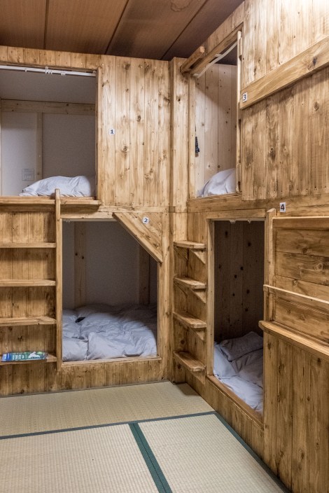
My dorm room at Goryokaku Guest House in Hakodate
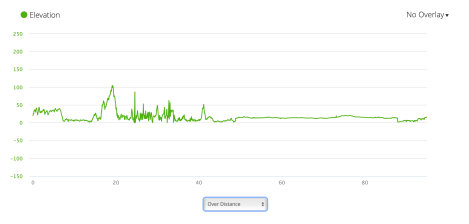
Jb50 – elevation profile from Garmin connect
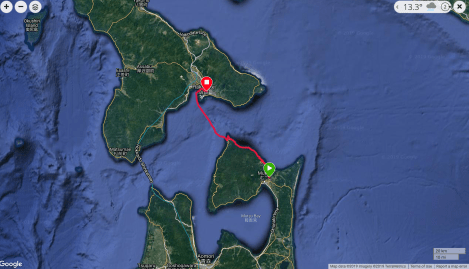
Jb50 – google map from Garmin Connect

Good weather you had in Oma there. It was raining when I was there so I couldn’t see Hakodate from the cape. Your photos reminded me of the sea urchin I had there, they were sweet and creamy, nothing like what I have tasted before.
LikeLiked by 1 person
That reminds me of my first time visiting Hachinohe. I stayed on a farm and one of the workers took me to a fish market early in the morning and recommended I try the sea urchin. I did, but it’s not for me unfortunately!
LikeLiked by 1 person
Well, they say it’s an acquired taste.
LikeLiked by 1 person
I agree 😉
LikeLiked by 1 person