
- Day 59 – Shosanbetsu to Cape Noshappu
- Distance: 110km
- Ascent / descent: 335m / 365m
- Weather: cold and windy
- Accommodation: camped near Cape Noshappu
All five of us at the campground were up at the same time and trying to dry out our tents from the overnight rain. A man who had camped in his car and was a friend of Takahashi’s, came up to us carrying a silver tray with a pot of coffee, cups, bread and bananas. I didn’t know what was more surprising, the silver tray and pot of coffee like an old-fashioned butler would serve, or the fact this stranger had put together this breakfast for other complete strangers. What a wonderful world we live in!
It turned out we were all trying to get to Wakkanai (four of us as Takahashi was driving) so we decided to cycle together.
I had a perfect view of Mt Rishiri yesterday but didn’t take any photos and today it’s completely obscured by cloud!
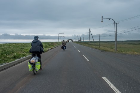
Cycling with Marcus and Patrick from Germany, Route 232
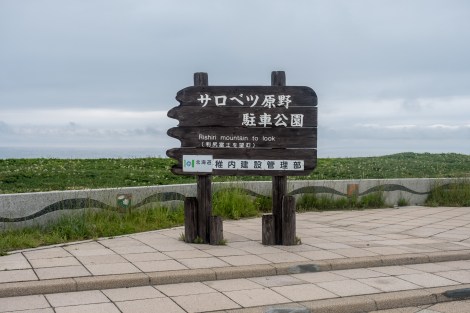
After leaving a town called Teshio (and stocking up with food and water for the next 70km to Wakkanai), we entered the Rishiri-Rebun-Sarobetsu National Park and crossed the Sarobetsu Plain on Route 106. While the morning’s ride was full of rolling hills, the afternoon was flat as a pancake and we were grateful there was no headwind. It was lots of fun cycling with Patrick and Markus (Hori-kun had sped ahead by the afternoon) and I enjoyed the company.
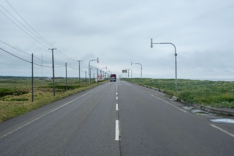
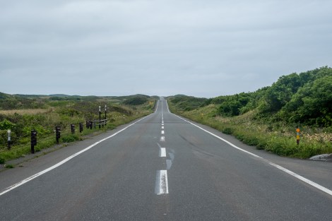
Long straight roads to Wakkanai, Route 232
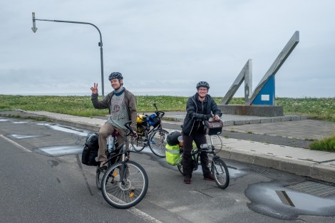
Marcus and Patrick from Germany, Route 232

Long straight roads to Wakkanai, Route 106
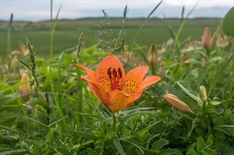
Wild tiger lilies by the roadside, Route 106
Rolling hills, Route 106

A Wakkanai manhole cover with Mt Rishiri in the background

Sunset at Cape Noshappu

Cape Noshappu

The lighthouse at Cape Noshappu in Wakkanai
I’m now only 35km from Cape Soya, the northernmost point of Japan and my goal for this trip…
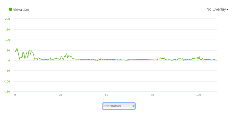
Jb59 – elevation profile from Garmin connect

Jb59 – google map from Garmin Connect

I have really enjoyed reading about your trip, and the photos you have taken. I noticed that you seem to be cycling longer distances towards the end, is this because you are feeling fitter, or time constraints. 60 days cycling, well done. Whats the total distance for the last two months.
LikeLiked by 1 person
Thanks Paul 🙂 Overall I think Hokkaido seemed flatter, but combined with feeling fitter and daylight from 3:30am, it was easier to do some longer days. The total journey was 4,529km.
LikeLike
Oh! If I’m not mistaken Patrick (or Marcus….the one on the right in the pic) was touring with a folding bike! Did they start at Cape Sata like you or were they “just” touring Hokkaido? Do you remember by any chanche which brand that folding bike was ?:D
LikeLike
That was Markus, he started in Tokyo and built the folding bike himself! It was very impressive!
LikeLike
Hi Kat!
I’ve been following your blog for about a week now, reading through your adventures. Just wanted to let you know that I’ve really enjoyed doing so!
I’m planning a similar trip in October, but I’ll be starting from Cape Soya all the way down to Cape Sata, riding on my road bike:) Not quite sure why most people seem to be doing it the other way around though..
Your blog is definitely an invaluable resource to me and I hope I can make one at least half as interesting and entertaining as yours!
I’m impressed by the fact you cycled from Sapporo to Rumoi along the coast! I decided to tweak my route to avoid the absurd amount of tunnels, riding along Takikawa instead..
Enjoy the final day to Cape Soya and have a safe ride!
Justin
LikeLiked by 1 person
Hi Justin,
Thanks for the lovely comments 🙂
The main reason to cycle northbound during spring/early summer is to beat the rainy season in Honshu, but if starting in Autumn then you’re going the right way by heading southbound otherwise Hokkaido would be snowed in. I look forward to following your journey!
LikeLike