
20th November, 2019
- Day 11: Kaş to Boğazcık
- Distance: 9.6km
- Ascent / Descent: 820m / 520m
- Weather: hot!
- Accommodation: Lykia camping & cafe ₺20pp
- Total cost for one (Turkish Lira ₺): accommodation 20, dinner at accommodation 37 = ₺57 (~£7 / €9 / US$10)
Awake with the call to prayer, we pack, pick up our breakfast then begin day 11 of the Lycian Way.
7:52am – leaving the vibrant town of Kaş
8:11am
After climbing out of Kaş, we have a choice of routes: interior or coastal. The coastal is not advised with big backpacks so we opt for the interior.

9:02am – back on the rocky stuff
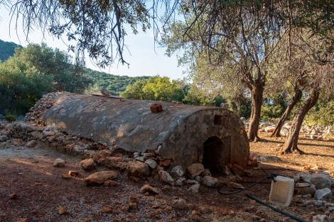
I think this is an old well?
After the two trails merge, we find ourselves boulder hopping. This is after we’ve skipped the ‘challenging coastal’ option!

9:39am – taking ‘coastal walk’ to a new level
Those ancient Lycians and their crazy ideas of what a footpath is…
I thought this was supposed to be a walk…
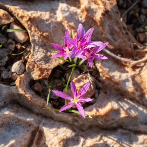
At least the crocus are smiling

9:50am – of course this is the way…
We stop at Çoban Koyu beach to eat breakfast. It’s only 10am and I’m already burning in the sun.
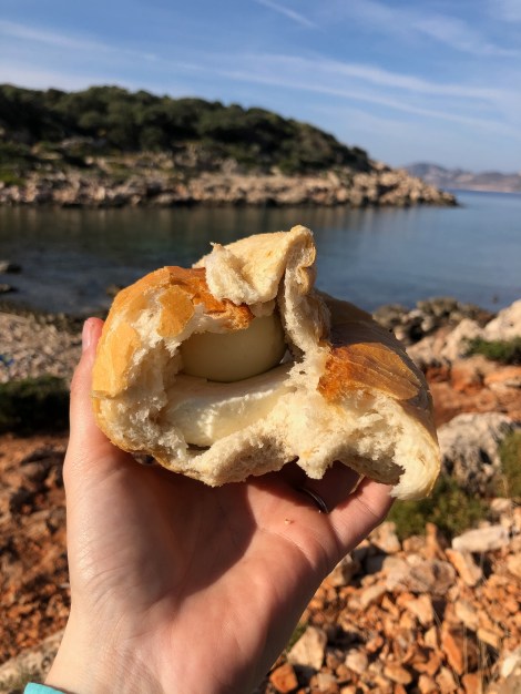
10:15am – rewarding myself with a cheese and egg sandwich (I’m not supposed to eat dairy but the options are limited if I don’t)

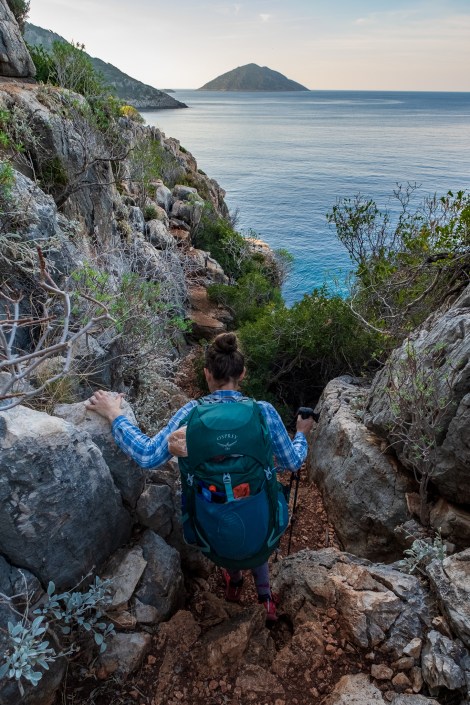
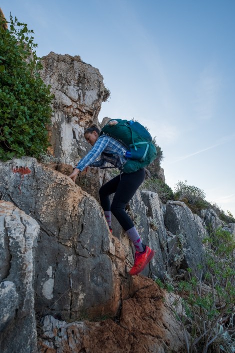
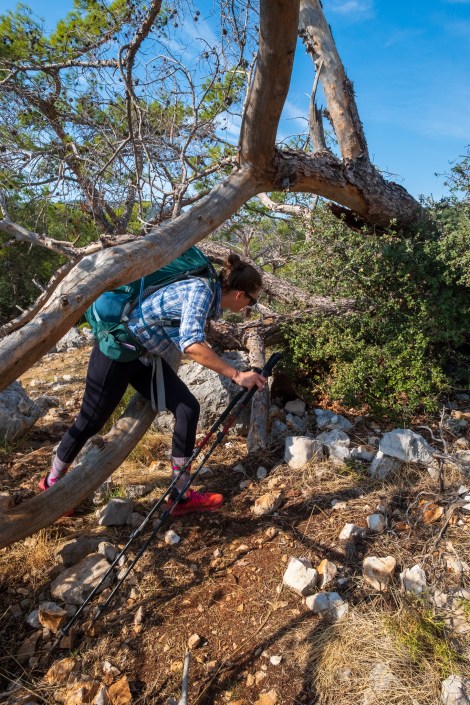
Sarah on the Lycian Way
The trail is slow-going. It’s rocky, rolling hills, spiky bushes, but the views are gorgeous.

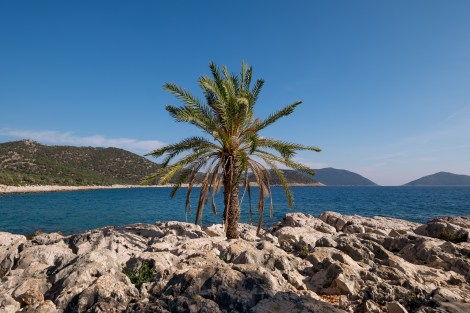
11:26am – picture perfect coastal views at every turn
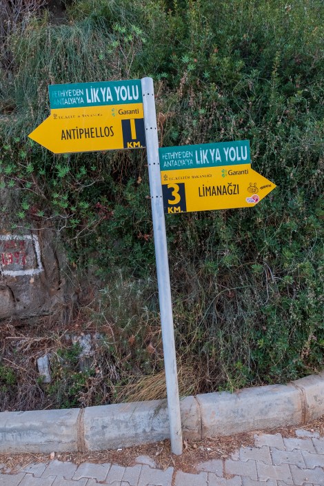
It took us a little while to find this sign… it was playing hide and seek
12:43am – everyday is a full body workout on the Lycian Way
I notice footprints on the trail and they look fresh. It would be great to meet another hiker. We’ve seen a few but they’ve all been walking the opposite direction and most didn’t speak English.
And then we meet the owner of the footprints, Rick from the UK. He’s walking the same direction we are but doing less mileage per day. He’s also carrying what looks like a very heavy backpack as well as a daypack on the front. I don’t know how he’s managing on these trails with two packs! He’s almost out of water, as are Sarah and I. We weren’t expecting the day to heat up quite so much and have been guzzling down our water. Rick tells us of a water source coming up and we thank him, wish him good luck and continue with some haste towards the water.
With the help of the TrekRight app, we find the water. It’s off the trail, up a side-road and not signposted. We add it to Komoot and hope Rick will find it too.
2:15pm – who put that there?
At 4pm we reach the outskirts of the village of Boğazcık and pass Lykia Camping-cafe. We pop in, wandering if they have anything to eat. With the help of google translate, we converse with the friendly young owner and order an omelette and fries to share. While waiting we charge our electronics and hydrate with cold soft drink.
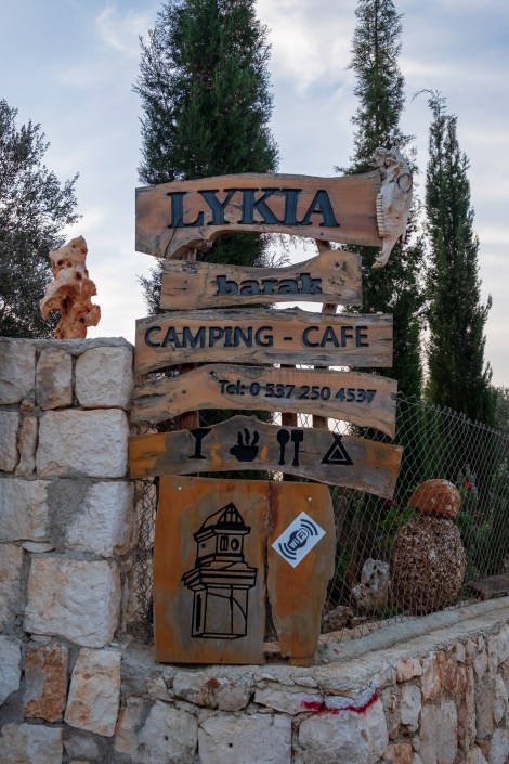
Home for the night at Lykia camping-café in Boğazcık
It takes quite a while for the food to arrive but it’s worth the wait. We ask the owner if there are any camping spots between here and Aperlai. He says there’s nothing other than a rocky trail but we can camp there for 20TRY each (£2.50), or take the sofa bed inside if we prefer. Sofa bed it is 🙂
-
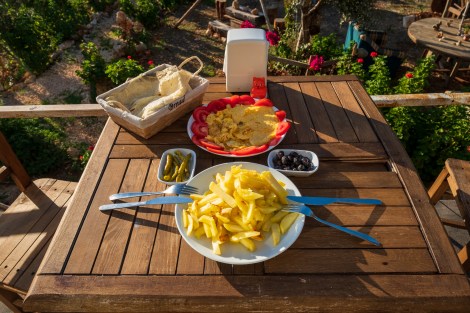
- An omelette, fresh wraps and chips for dinner
-

- The owner offered us the sofa bed (rather than camping) for the night so of course we said yes!
Rick arrives just as we finish our lunch/dinner. Poor guy didn’t find the water source and in his desperation he drank a half-empty bottle of orange-coloured iced-tea that he found in a fire pit. I hope it was iced-tea. He decides to stay the night too, but outside in his tent. It’s nice to have new company and we chat well into the evening.
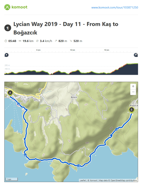
Lycian Way – route information by Komoot – day 11
We’re using Komoot* for navigation and to record our own tracks. Prior to departing the UK we uploaded the GPX tracks to Komoot so we can now use them for navigation (with voice commands). We’re also using Komoot to record our own daily tracks which gives us the above maps, elevation profiles, distance, speed etc. You can find our collection of tracks on the Komoot App by searching ToughGirl for Sarah and followingthearrows for me. Or click the link in the caption on the above map to go straight to the track.
*Komoot premium was gifted and we also received sponsorship for this hike.
To see Sarah’s vlogs of our Lycian Way hike, click here. You can also follow her on Instagram, Twitter, LinkedIn, YouTube, and keep up to date with the Tough Girl podcasts here.
If you have any questions, leave me a comment and I’ll add a FAQ post at the end of the trip.
