
27th November, 2019
- Day 18: Adrasan to wildcamp 6km past Çıralı
- Distance: 20.7km
- Ascent / Descent: 1080m / 1050m
- Weather: overcast, 18 degrees C
- Accommodation: wildcamp 6km past Çıralı
- Total cost for one (Turkish Lira ₺): resupply 14.50, lunch in Çıralı 34 = ₺48.50 (~£6 / €7 / US$8)
My phone alarm goes off at 7am and I scramble quickly to unzip the tent and reach it. Sarah (even using mosquito repellent) has at least a dozen bites on one side of her face. We need to get back to camping, it’s the only way to be free of the mosquitoes.
Leaving Adrasan, we follow a road for a few kilometres and pass fields of orange groves.
8:39am – maybe I shouldn’t have eaten so many chip sandwiches!
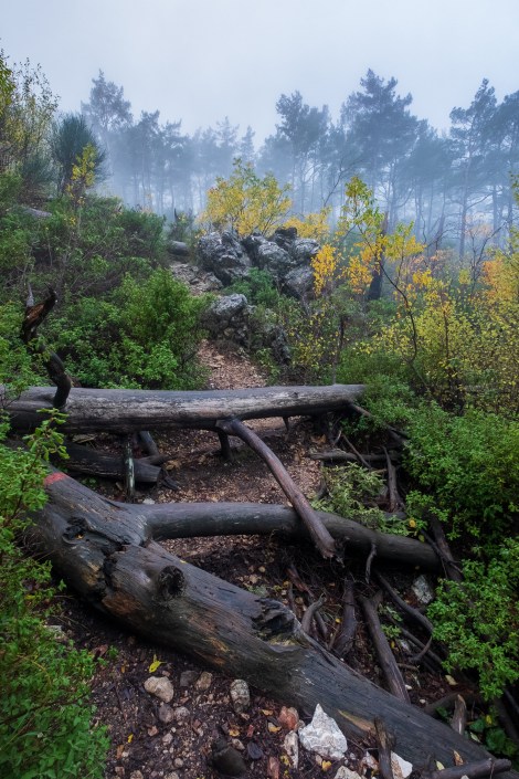
As soon as we turn off the road, we begin our big climb of the day, up Mount Moses (Musa Dağı) along a good forest path. According to the guidebook, the trail was once used by camels to reach the mountaintop pastures. The ascent lasts for 5km and is much easier than the descent which is along slippery moss-covered rocks. I’ve had plenty of experience of walking on similar terrain on the Kumano Kodo, but I wasn’t expecting it here!
10:33am – symmetree 🙂
-
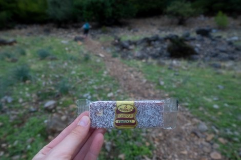
- I’m a fan of these bars and they’re super cheap too
-
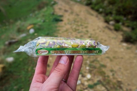
- This however, was a little too sweet even for my tastebuds

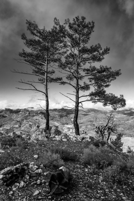
A mountaintop shepherd’s hut – camels and sheep once grazed this land

11:01am – hurdle #1
11:08am – hurdle #2, 3 and 4

Descending into the mist
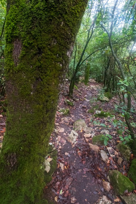
11:54am – reminiscent of walking the Kumano Kodo in Japan

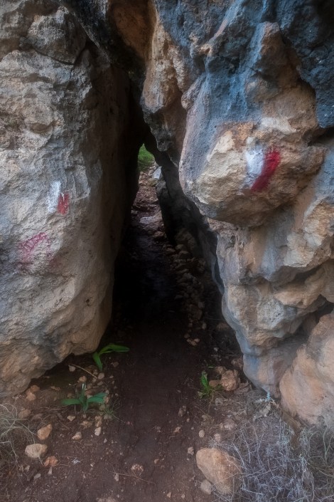
Follow the blazes
At the bottom of the mountain we enter the ruins of the ancient Lycian city of Olympos, said to be named after the nearby Mt Olympos (Tahtalı Dağı). In the 2nd Century BC, Olympos was an important Lycian city before falling victim to piracy and then subsequently conquered by the Romans, Venetians, Genovese, and Ottomans. The ruins on both sides of the river include a theatre, temple gate, necropolis, sarcophagus, bathhouse, church, basilica and more. I need a full day to explore but make do with an hour or so.
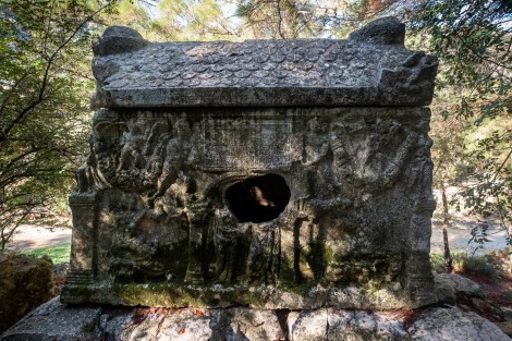
Alkestis Sarcophagus (Alkestis Lahdi) in Olympos
-

- Olympos Ruins (Olimpos Antik Kenti)
-
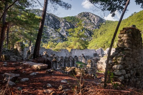
- Olympos Ruins (Olimpos Antik Kenti)
-

- Olympos Ruins (Olimpos Antik Kenti)
-
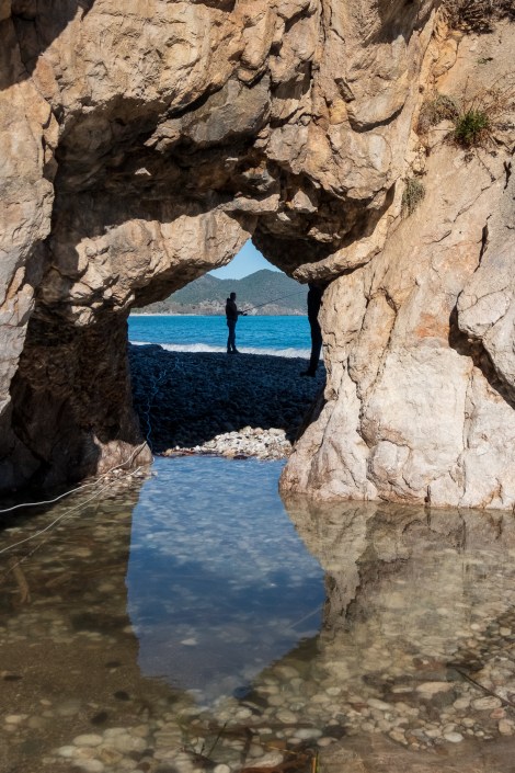
- Olympos beach
Where the river and ruins meet the sea, the Lycian Way continues across a pebble beach to reach the village of Çıralı. I’m sure it’s bustling in summer but now the restaurants are all closed for the season, except one. Some locals point us in the direction of the open restaurant and we order lunch while trying to map out the next few days.

Olympos beach
The trail splits here in Çıralı; one option is a mountain trail via Mt Olympos with an optional detour to the summit (2366m), and the other sticks to the coast. We like the sound of the mountain trail and possibly even summiting, however the forecast still looks a little iffy and it’s the descent of the mountain trail into the Göynük Canyon that we’re not keen on. Everything we’ve read about this descent (rugged, slippery, dangerous with large backpacks, numerous river crossings) is turning us off. Especially after the recent heavy rain. We decide to stick to the coastal trail as far as it goes (until just after Phaselis ruins) and then devise our own coastal trail with Komoot connecting Phaselis with Göynük. Well that’s the plan, time will tell if it works!

4pm – greenhouses and a mosque
Leaving Çıralı on the ‘alternative coastal route’ we’re delighted to still see waymarks, in fact they’re better than usual.


This view reminds me of Africa

5:09pm – looking for the perfect camp spot
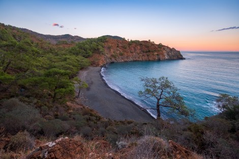
Gorgeous secluded coves
We find the perfect secluded campsite and as the light fades and the cold air envelops us, we retreat to the warmth of our tents. Another day full of history, ruins, challenges, and stunning vistas on the Lycian Way.

Perfect!

Lycian Way – route information by Komoot – day 18
We’re using Komoot* for navigation and to record our own tracks. Prior to departing the UK we uploaded the GPX tracks to Komoot so we can now use them for navigation (with voice commands). We’re also using Komoot to record our own daily tracks which gives us the above maps, elevation profiles, distance, speed etc. You can find our collection of tracks on the Komoot App by searching ToughGirl for Sarah and followingthearrows for me. Or click the link in the caption on the above map to go straight to the track.
*Komoot premium was gifted and we also received sponsorship for this hike.
To see Sarah’s vlogs of our Lycian Way hike, click here. You can also follow her on Instagram, Twitter, LinkedIn, YouTube, and keep up to date with the Tough Girl podcasts here.
If you have any questions, leave me a comment and I’ll add a FAQ post at the end of the trip.
